Earth Magnetic Anomaly Model (EMAG2)
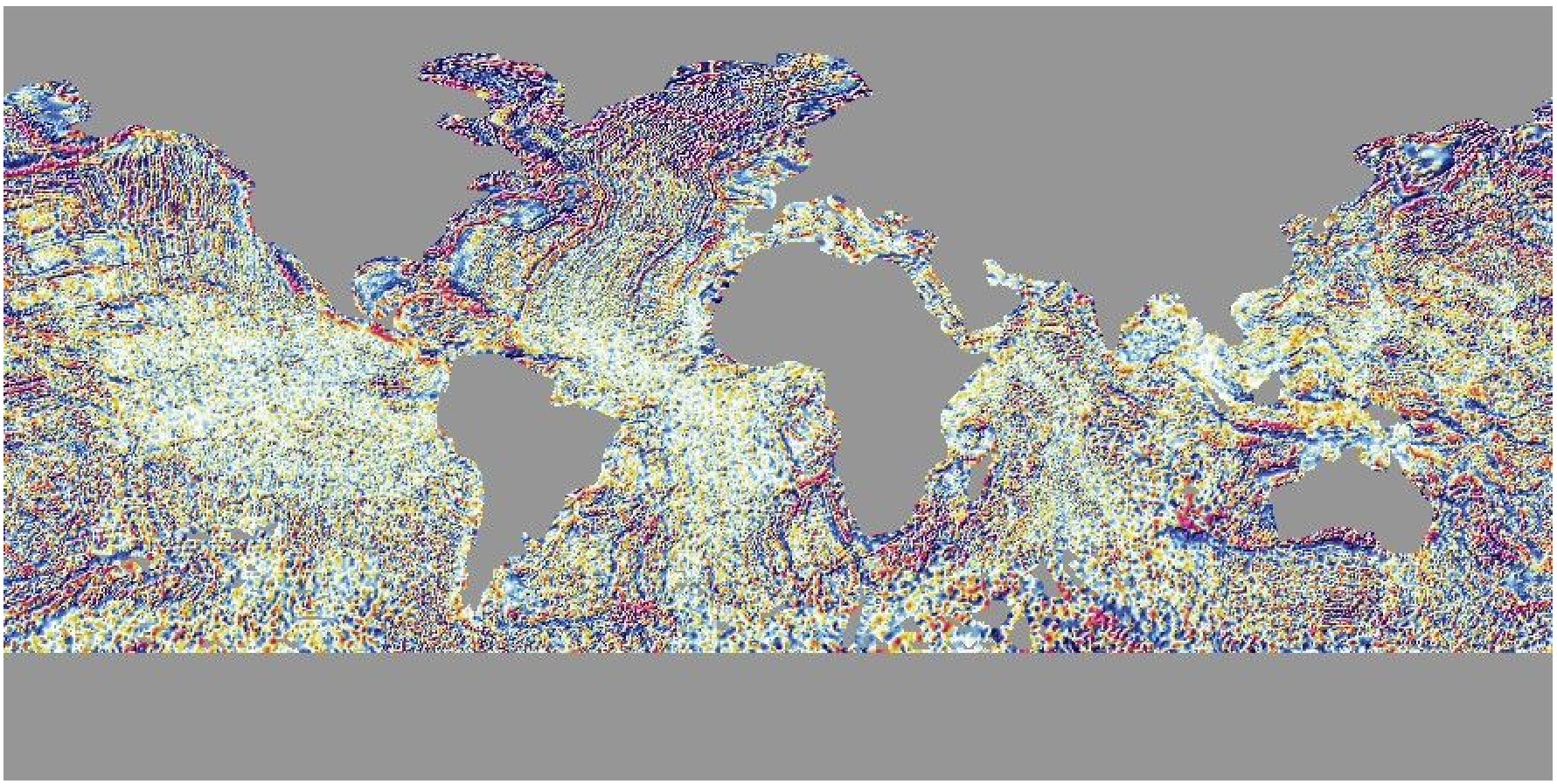
The US National Environmental Information Center Office of Geomatics provide EMAG2, the Earth Magnetic Anomaly Model at 2 arc-minute resolution based on satellite, ship, and airborne magnetic measurements.
The available resolutions for this grid are:
"01d", "30m", "20m", "15m", "10m", "06m", "05m", "04m", "03m", "02m". Where the suffixd,mandsstand for arc-degrees, arc-minutes, and arc-seconds. See also the manual of remotegrid for information about the grid registrations.
On first usage, the grids are downloaded to the user ./gmt/server/... directory. On later usages, the grid(s) are loaded from that local directory.
The default color palette table (CPT) for this dataset is earthmag.cpt_. It’s implicitly used when passing in the file name of the dataset to any grid plotting method if no CPT is explicitly specified.
Refer to earth_mag for more details about technical detail, available resolutions, sizes, version information and references.
Example
G = gmtread(remotegrid("mag", res="6m"))
viz(G, shade=true)These docs were autogenerated using GMT: v1.33.1